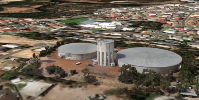
This model was created by taking hundreds of photos from all angles and stitching them together. The result can be used for surveying purposes and viewed as point cloud, textured/shaded models, DEM or orthomosaic.
3D Mapping
This is a 3D model created with the DJI M 300 RTK and Zenmuse P1 camera. The subject is the Australind Water Tower, a prospective site for NodeOne wireless internet.


